

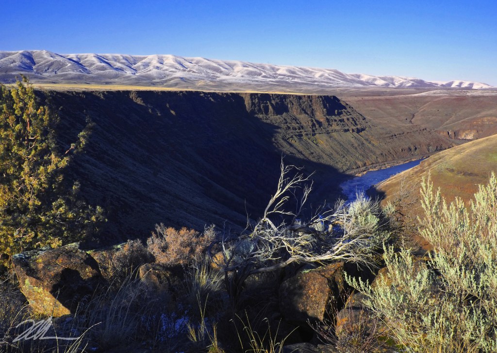
If you didn’t happen to know this is WyEast Country, you might guess this scene is somewhere in Colorado or Wyoming, yet this desert spot is less than two hour’s drive from rainy Portland. The view is from the rim of the lower Deschutes River canyon, directly above the historic Oak Springs Hatchery. A short user trail leads to this viewpoint from the Oak Springs access road.
At a time when we aren’t adding much public land in this country, the lower Deschutes River canyon has been an exception. For years, the Oregon Department of Fish and Wildlife (ODFW) and occasionally the federal Bureau of Land Management (BLM) have been acquiring private land within the canyon and its tributaries. Snowy Tygh Ridge , rising in the background in this view, is a different matter. The ridge is almost entirely privately owned and devoted to cattle ranching and wheat farming.
However, in recent years the ODFW has offered incentives to ranchers to rest large parcels along the north slopes of the ridge in past years for habitat, turning plowed fields into sprawling wildflower meadows. Will we someday see public land acquisitions of the ridge, itself? Perhaps, as it’s an important wildlife corridor connecting the Deschutes canyon to the state-owned White River Wildlife Area in the Cascade foothills, to the west.
___________
Image Description: A deep desert canyon with long shadows and steep brown and black walls gives way to the indigo-blue Deschutes River, far below. A small juniper and the bleached limbs of a sagebrush rise from rust-tinged boulders in the foreground. The gentle, snow-dusted slopes of Tygh Ridge stretch across the horizon against a clear blue winter sky.
Photo © WyEast Images (2026)
